I will now take my day off at Rae lakes. A half day off anyway. The benefit is that Rae puts me very close to my resupply two days from now. I can't make Rae from here so I will go to Woods creek today and then a short half day hike to Rae tomorrow.
Fishing was lots of fun at Bench. Rainbows at the deeper east end and Browns at the shallow warmer west end. I spent some time fishing as I began my hike back to the JMT. Before starting up to Pinchot pass I fished some more at Lake Marjorie for the many brook trout there.
 |
| Lake Marjorie |
Pinchot Pass was very much like Mather Pass two days ago. Pleasant switchbacks going up to 12,100' and then a big, wide open basin below to the south. From the pass you can see how the water flows down and then turns right, to the west. This time it was Woods creek that I would follow downstream until I came to the big crazy suspension bridge. I picked a campsite on the other side of the bridge. From there, the JMT starts to climb back up to Rae lakes.
 |
| Looking back to Lake Marjorie from Pinchot Pass |
 |
| Looking south to the trail ahead from Pinchot Pass |
 |
| Woods Creek |
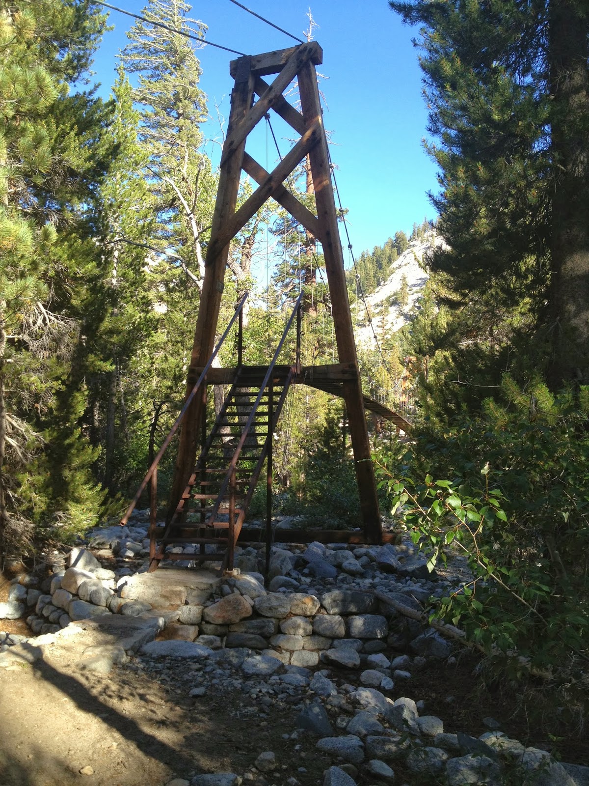 |
| Suspension Bridge over Woods Creek |
Daily SPOT Messages
Morning
Dave's right here"
Latitude:36.95055
Longitude:-118.46577
GPS location Date/Time:08/13/2013 08:49:37 PDT
Message:Leaving Bench Lake for the Woods Creek Bridge
Click the link below to see where I am located.
http://maps.google.com/maps?f=q&hl=en&geocode=&q=36.95055,-118.46577&ll=36.95055,-118.46577&ie=UTF8&z=12&om=1
Evening
Dave's right here"
Latitude:36.87294
Longitude:-118.43800
GPS location Date/Time:08/13/2013 17:55:32 PDT
Message:Camped@the bridge. Cheesy Strogo&potatos. Yum
Click the link below to see where I am located.
http://maps.google.com/maps?f=q&hl=en&geocode=&q=36.87294,-118.43800&ll=36.87294,-118.43800&ie=UTF8&z=12&om=1

No comments:
Post a Comment
Comments welcome here: